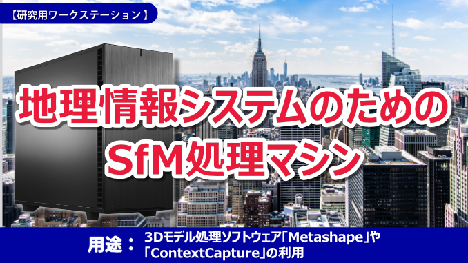

A customer involved in the development of a geographic information system consulted us about an SfM processing machine.Metashape,Context CaptureUsing SfM processing software such asProcessing a large number of high-resolution photos (about 1 million pixels)It is assumed that In addition to SfM processing, it is also used for 3D data editing of high-density point clouds, 3D modeling, and CAD processing.
Here are the specific specs you are looking for:
|
・CPU: Xeon Gold class or higher The number of cores is undecided |
We proposed the following specifications based on the conditions we received from the customer.
【Main Specifications】
| CPU | Xeon W-2295 (3.00GHz 18 cores) |
| memory | 256GB |
| Storage 1 | 1TB M.2 SSD |
| Storage 2 | 2TB HDD S-ATA |
| video | Nvidia RTX A6000 |
| network | on board (10/100 / 1000Base-T x1 5G x1) |
| Housing + power supply | Middle tower case + 850W |
| OS | Microsoft Windows 11 Pro 64 bit |
The points for selecting a CPU are as follows.
|
■ Points ・When considering the use of scheduled software, like Xeon Gold,A CPU with a high number of cores but not a high operating clock"Is"A CPU with a small number of cores but a high number of clocks per coreIt is thought that the processing will be slower than |
Based on the above, since the image data handled in this case is large,Equipped with 128GB or more of memory + CPU specs”, we proposed a configuration using the Xeon W series CPU.
Also, both of the software you plan to use have a certain degree ofGPU power required.
Initially, we expected to introduce a configuration that adopted the Geforce RTX3090,After confirming the requirements of the CAD to be used, I changed to an OpenGL compatible video card.
The configuration of this case study is based on the conditions given by the customer.
Please feel free to contact us even if you are considering different conditions from what is posted.
■FAQ・What is Metashape? reference:Metashape (Agisoft) * Jump to the website of "Unipos", an overseas product procurement and consultation service for our research and development.
・What is ContextCapture? reference:Context Capture (Bently) *Jumps to an external site
・What is OpenGL? OpenGL is a library for supporting 2D/3DCG-related calculation/drawing functions of hardware. |
 |
 |
|
■ Click here for details and inquiries about this PC case * Please enter the name of the case or your desired conditions. |


