R & D PC configuration example (Tegsys)
Machine for Pix4D mapper
A customer who uses drones and UAVs for business asked us about a machine for the software "Pix4Dmapper" for processing aerial images. Budget within 60 yen […see next]

A customer who uses drones and UAVs for business asked us about a machine for the software "Pix4Dmapper" for processing aerial images. Budget within 60 yen […see next]
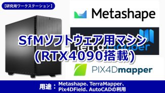
A customer involved in shoreline survey research asked for a machine to perform calculations using SfM software. Metashape, TerraMapper, Pix4 […see next]
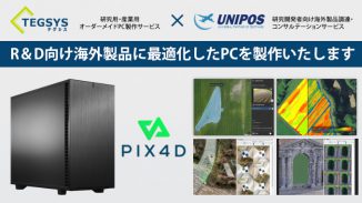
Overseas product procurement for R & D and PC manufacturing service with optimal configuration for its use Custom-made PC manufacturing service "Tegsys" and overseas product procurement and consulting for R & D […see next]
This is a configuration plan for comfortable use of Pix4Dmapper, a photogrammetry software for drone mapping. Consider the configuration according to the recommended specifications for Pix4D Mapper […see next]
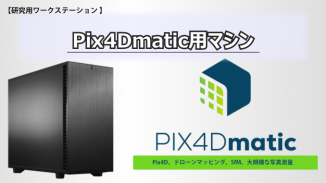
This is a configuration plan for comfortable use of Pix4Dmatic, a large-scale mapping and new-generation photogrammetry software. Recommended for using Pix4Dmatic […see next]
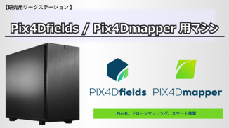
A proposed configuration for using the advanced agricultural mapping software Pix4Dfields for digital agriculture. Pix4Dfields / Pix4Dmapper […see next]
■ This is an article posted on July 2017, 7, so the content of the information may be out of date. Processing of images taken with UAV, data of about 24MB to 1MB per sheet, 30 […see next]
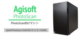
■ This is an article posted on July 2017, 7, so the content of the information may be out of date. 6D modeling software Agisoft PhotoScan and P […see next]

■ This is an article posted on January 2017, 1, so the content of the information may be out of date.Agisoft PhotoScan, which is processing software for aerial photographs, […see next]
Copyright © 2020 | Tegara Corporation