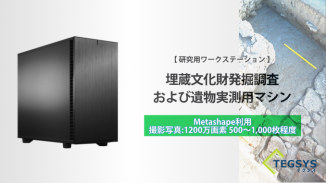
R & D PC configuration example (Tegsys)
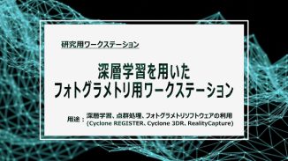
Photogrammetry workstation using deep learning
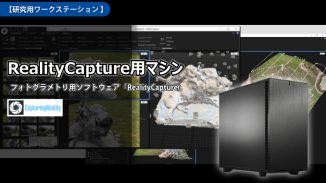
Customers who viewed the PC-8351 requested deep learning, point cloud processing (Cyclone REGISTER, Cyclone 3DR), and photogrammetry software (Reali […see next]